Flagship / Case Study
Read the Case Study
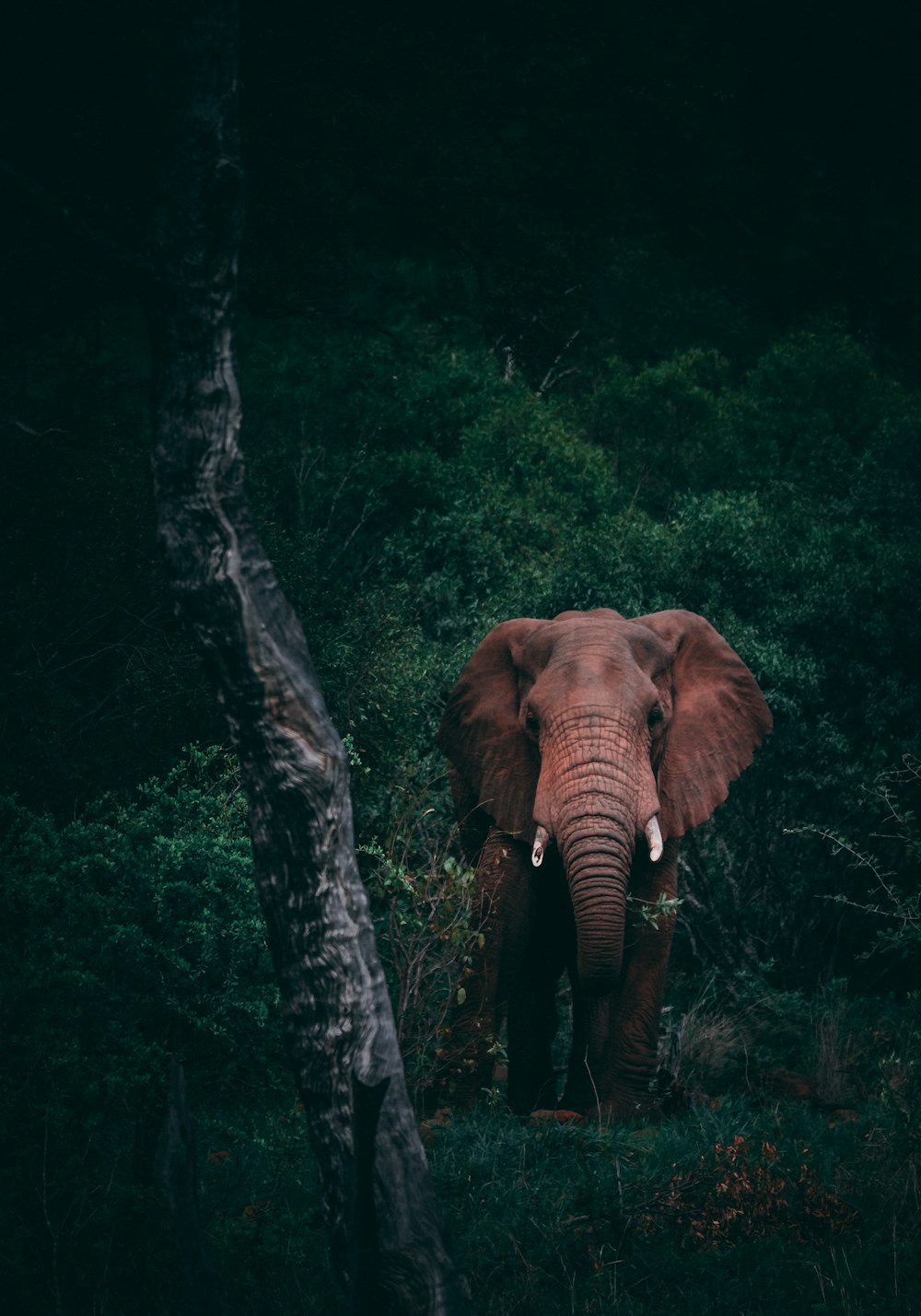
GIS Suite: AI Drone Security
An edge-AI platform for wildlife anti-poaching and farm security across African reserves. Five applications, real-time detection, and a full annotation-to-redeployment loop, running fully offline.